
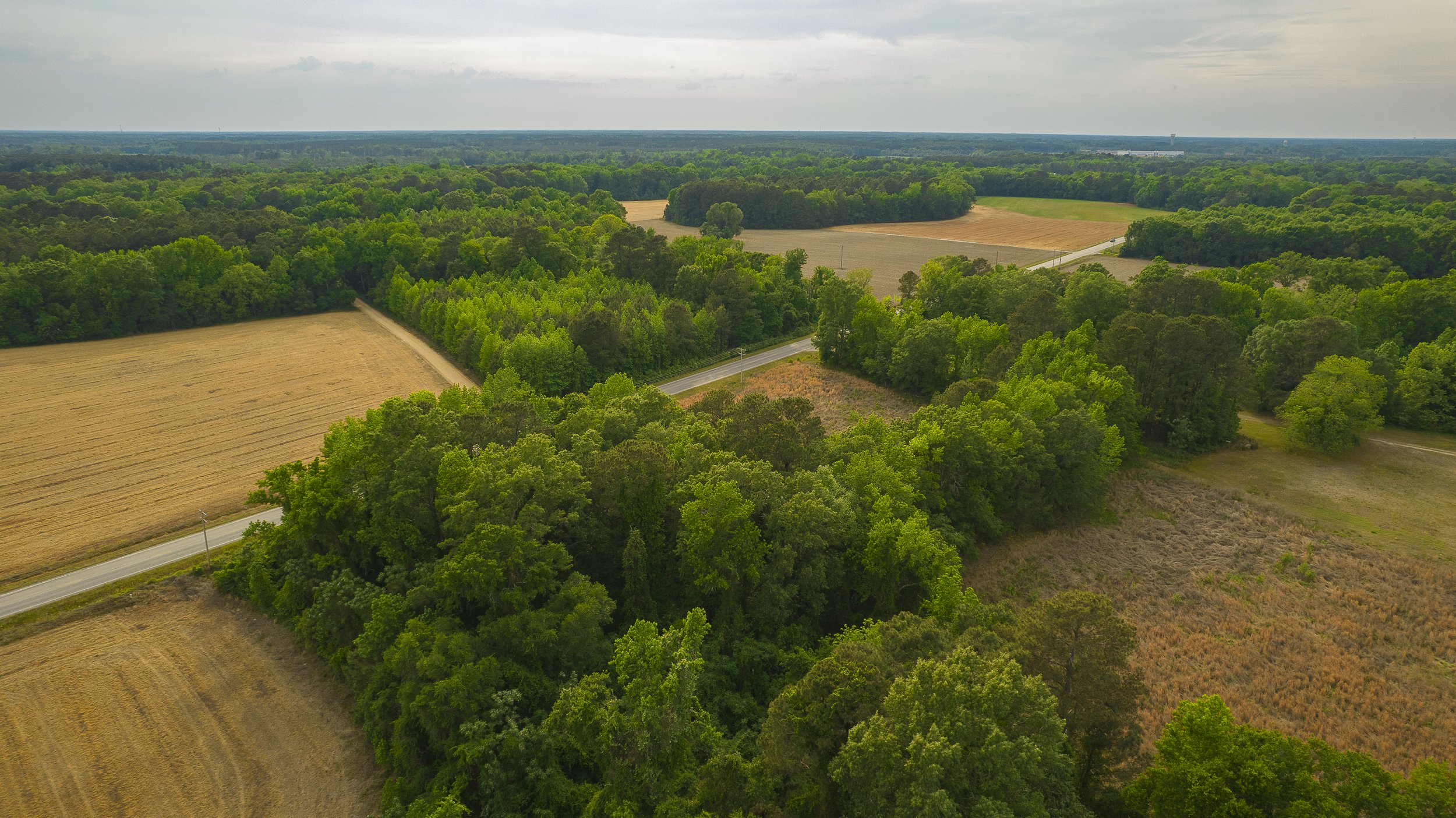
Vacant Land Photography
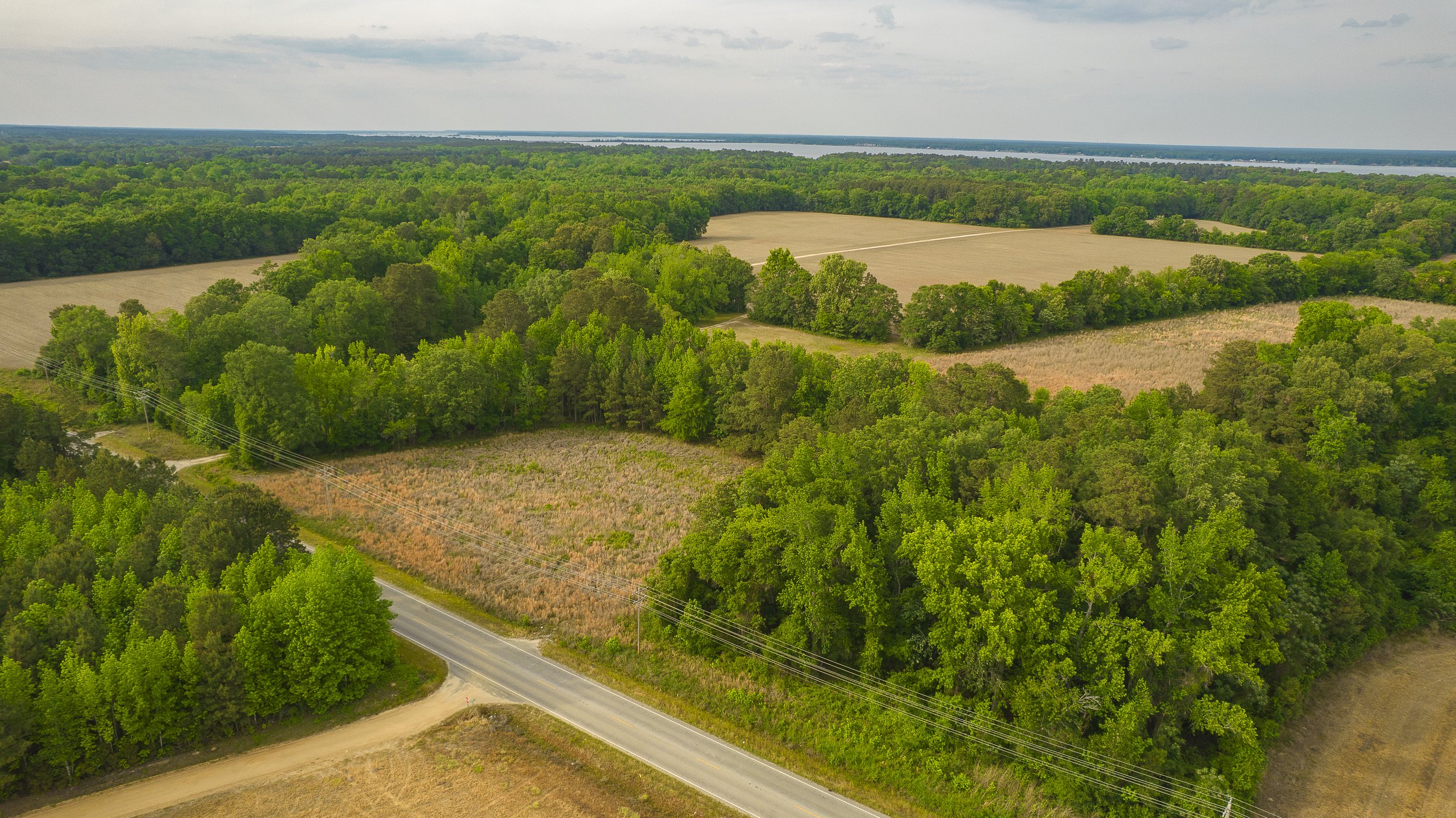
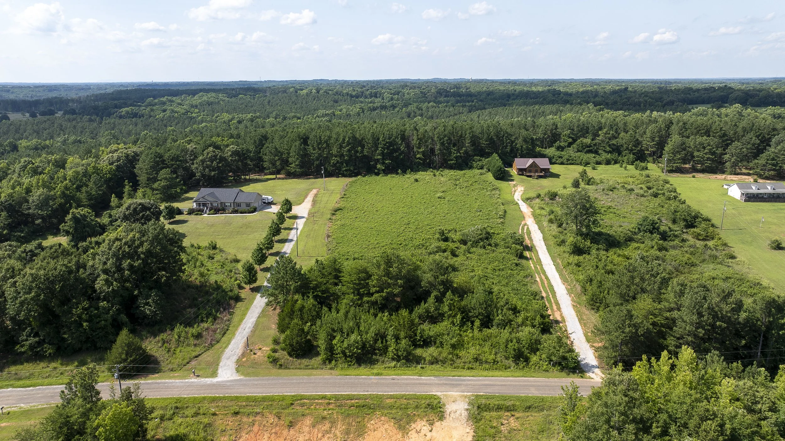
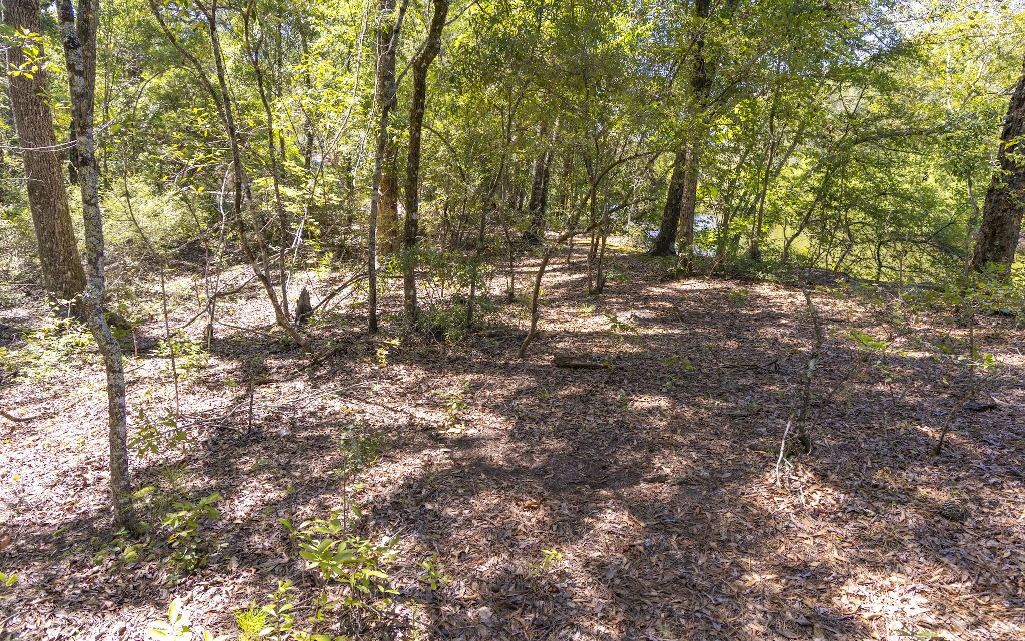
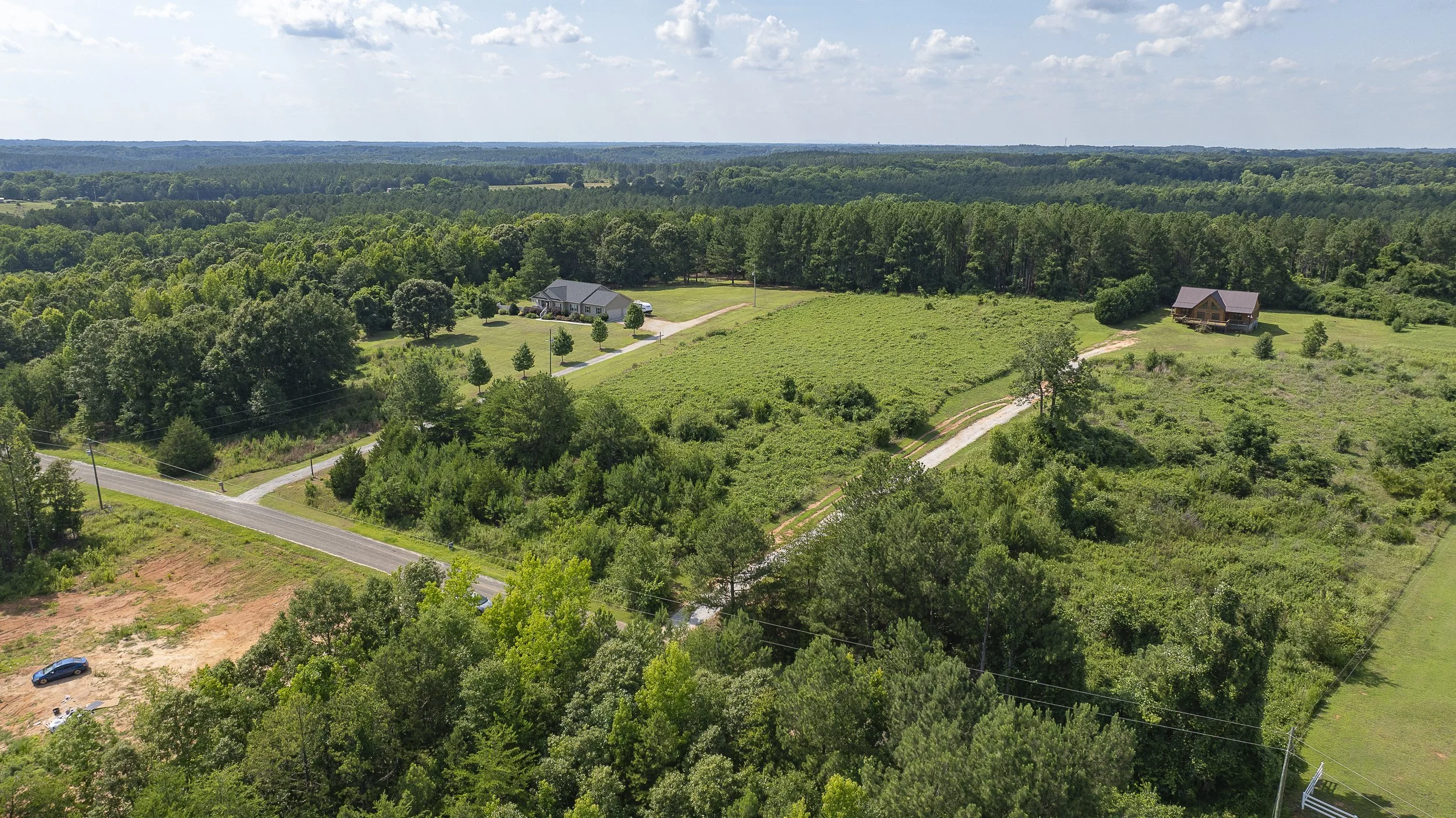
Whether you’re marketing a single parcel, preparing for development, or showcasing a large tract of land, Davis Aerial Solutions provides high-quality aerial imagery that highlights property boundaries, access points, surrounding infrastructure, and the features that matter most to buyers, investors, and developers. Our professional drone photography helps your property stand out and communicate its full potential.


Let's Bring Your Next Project Into Focus
Professional imagery. Powerful perspectives. Exceptional service.
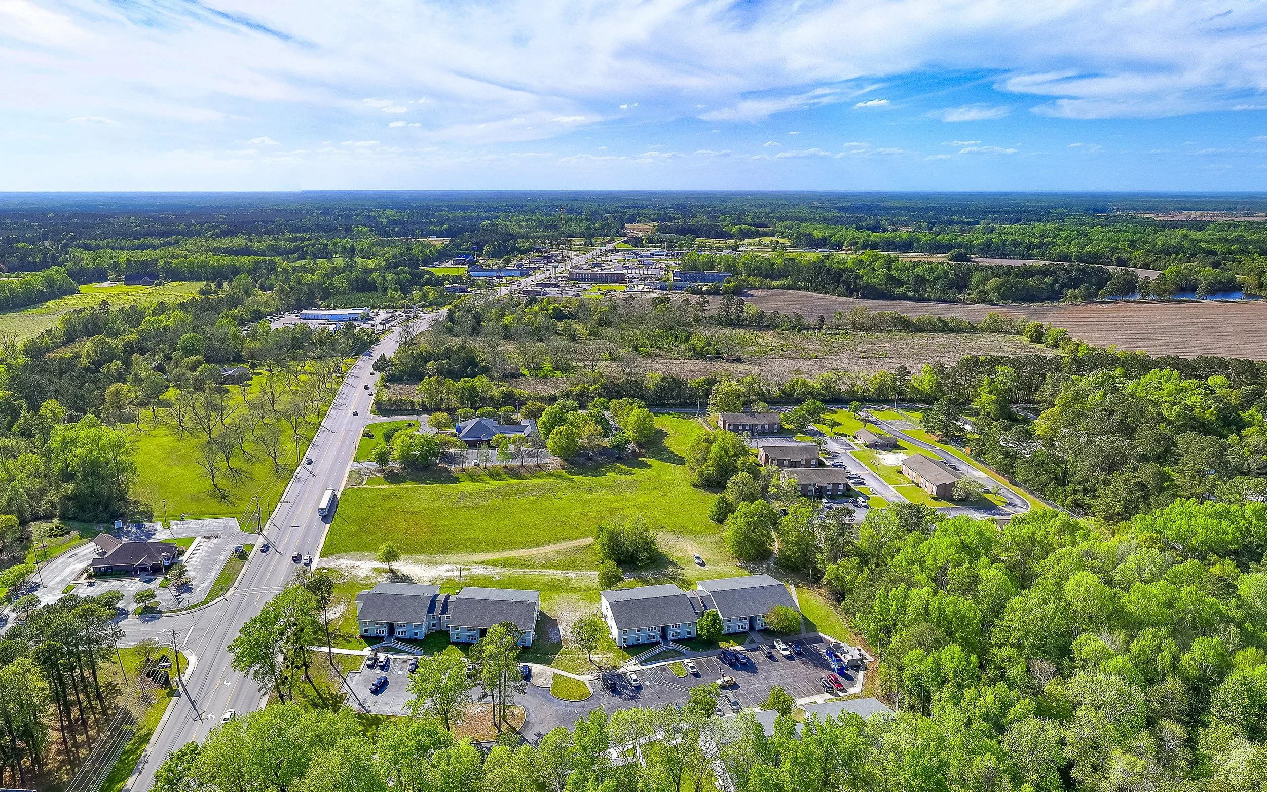
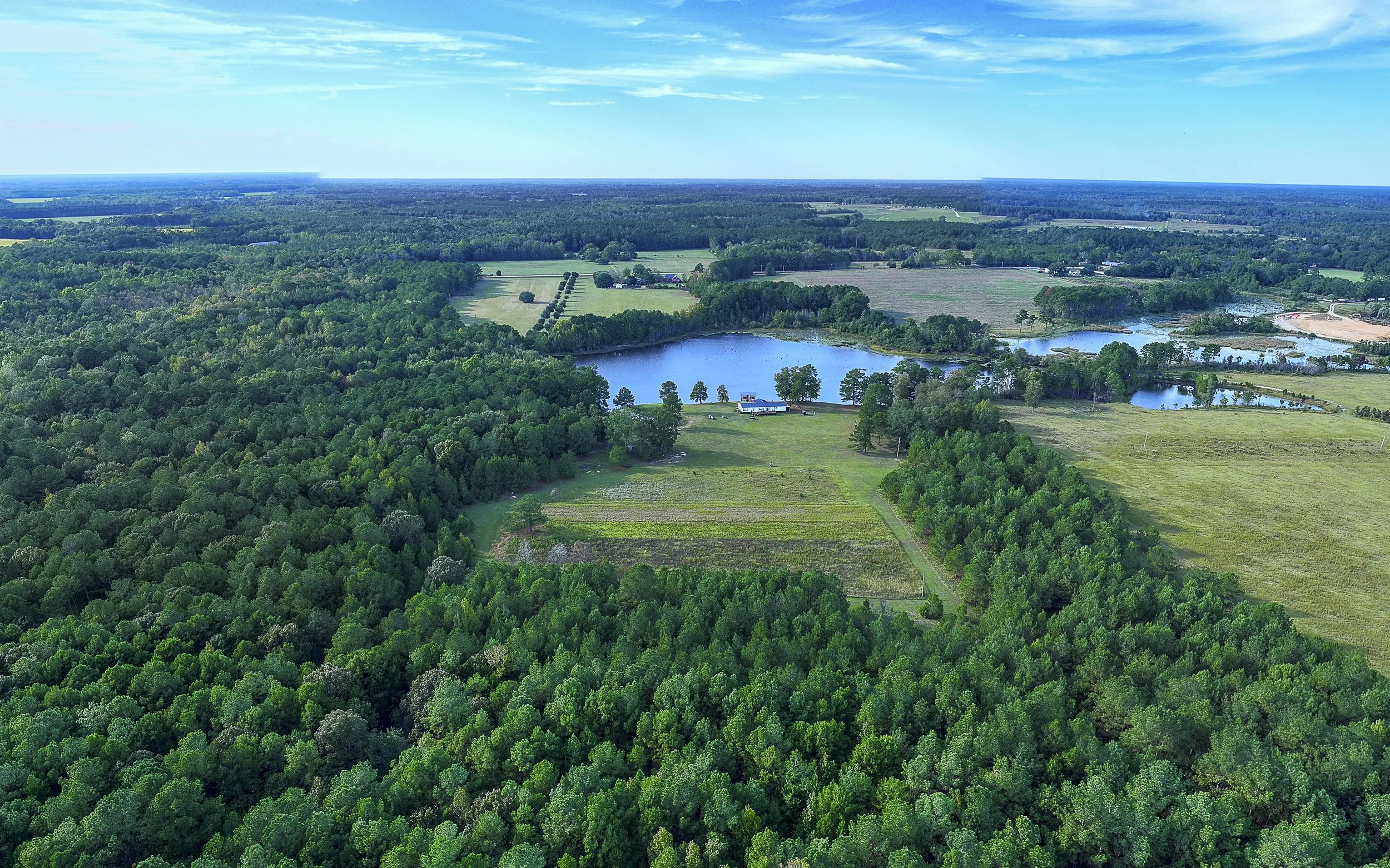
Whether you're marketing a commercial property, showcasing land and acreage, documenting construction progress, or promoting a multifamily community, Davis Media Solutions is ready to help.
Complete the form to request a customized quote, discuss your project, or learn more about our services.
Prefer to speak with us directly?
Give us a call today. We look forward to working with you.
